‘THE BIBLE OF EUROPEAN SINOPHILIA’
DU HALDE, Jean-Baptiste.
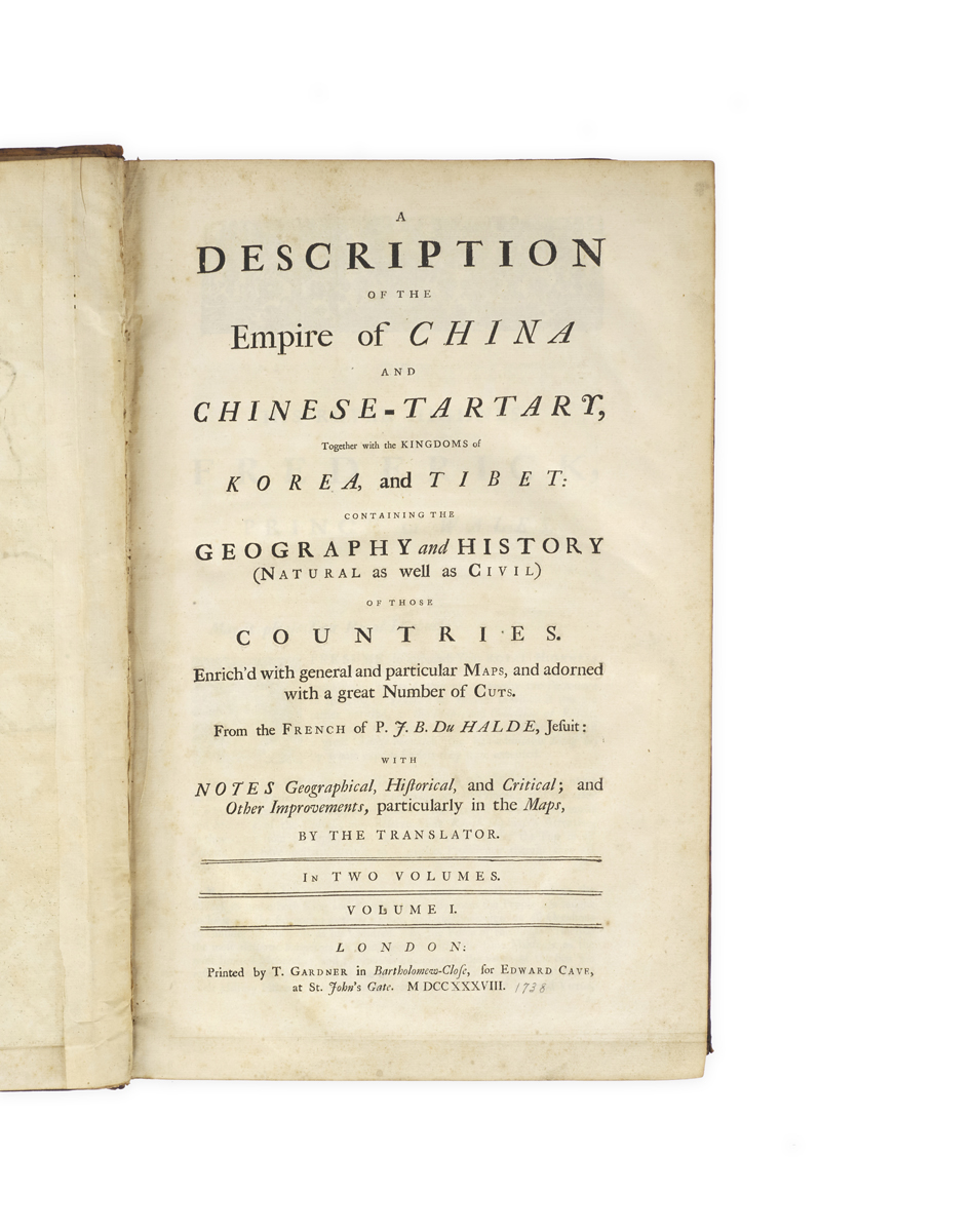
A Description of the Empire of China and Chinese-Tartary, together with the Kingdoms of Korea, and Tibet, containing the Geography and History (natural as well as civil) of those Countries, enrich’d with general and particular maps, and adorned with a great number of cuts, from the French of P.J.B. Du Halde, Jesuit: with notes geographical, historical, and critical; and other improvements, particularly in the maps, by the translator …
London, T. Gardner for Edward Cave, 1738 [– 1741].
Two vols, folio, I: pp. [4], viii, xii, [2], 678, ix–xi, [1], with 36 engraved maps, plans, and plates (several folding, first map coloured in outline); II: pp. [4], 388, [10 (index)], with 4 engraved plates, 24 folding maps, and 2 woodcuts in the text; loss to blank outer margin of vol. I frontispiece (with old repair), closed tear along fold of first folding map in vol. I and some creasing to second map, small worm tracks to a few maps in vol. II, some browning and foxing; overall a good set in contemporary mottled calf, neatly rebacked with original lettering-pieces relaid (chipped), new numbering-pieces; some wear to corners and edges, and abrasions to covers; modern ownership signature to upper pastedowns, modern marginal ink notes to vol. II pp. 1–4 and p. 87.
Added to your basket:
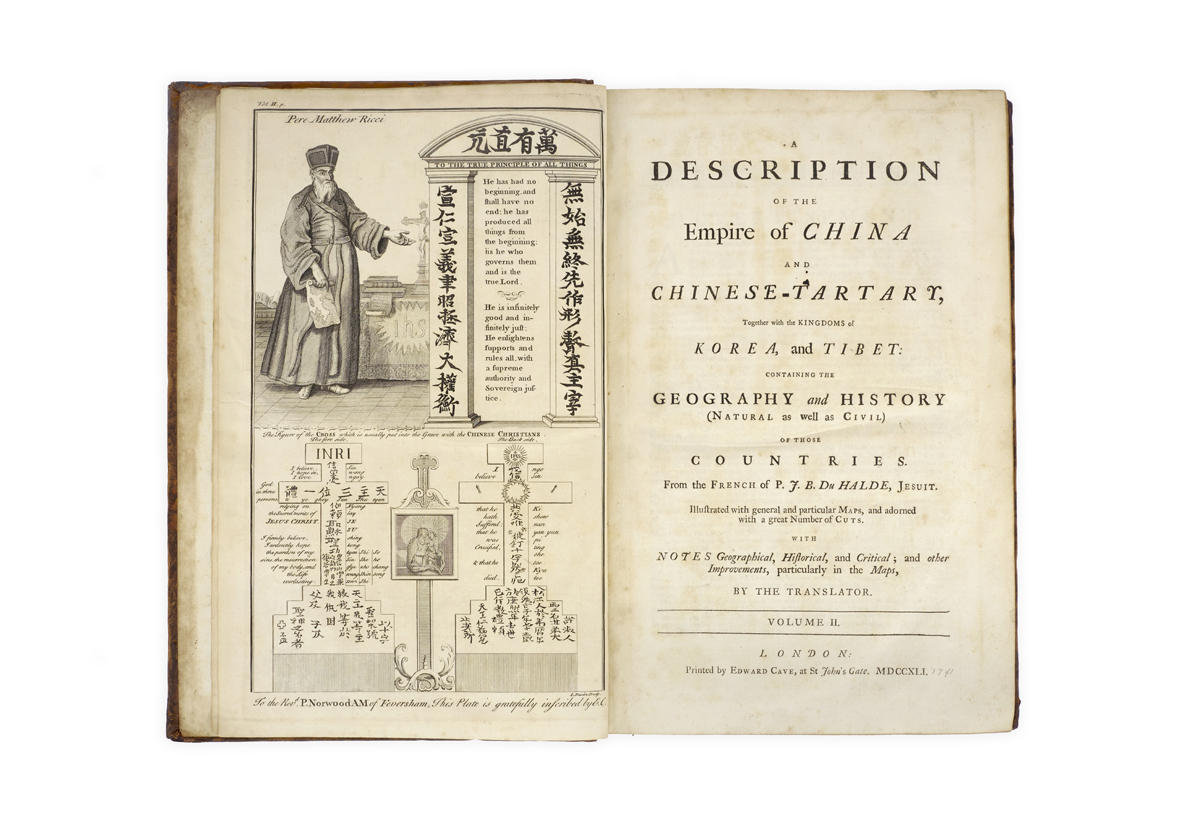
A Description of the Empire of China and Chinese-Tartary, together with the Kingdoms of Korea, and Tibet, containing the Geography and History (natural as well as civil) of those Countries, enrich’d with general and particular maps, and adorned with a great number of cuts, from the French of P.J.B. Du Halde, Jesuit: with notes geographical, historical, and critical; and other improvements, particularly in the maps, by the translator …
The first complete English translation of Jean-Baptiste Du Halde’s Description géographique … de l’Empire de la Chine (1735), the ‘Bible of European sinophilia’ (Löwenstein).
A successor to Charles Le Gobien – both as editor of the Jesuit Lettres édifiantes et curieuses and as professor at the Jesuit College – Du Halde spent most of his working life in Paris publicising the efforts of Jesuit missionaries abroad, particularly in East Asia. The results were pivotal in shaping European understanding of non-European and non-biblical cultures and furthering the development of European sinology.
Based on the reports of major Jesuit missionaries, and shaped by the earlier Historia of Martini and Mémoires of Le Comte, Du Halde’s Description ‘was more elaborate and authentic than any other account of the empire that had appeared previously … it was an encyclopaedia of information, a rich quarry for writers who happened to be interested in Chinese affairs in the mid-18th century’ (Löwenstein); or, in the words of Hill, the ‘first definitive European work on the Chinese Empire’.
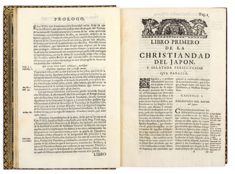
An abridged English octavo edition, with an ‘injudiciously condensed’ (Löwenstein) translation by Richard Brookes, was first published by John Watts in 1736. The present copy is therefore the second English edition but the first complete translation, published in two folio volumes in 1738 and 1741. According to Löwenstein, the translation is the work of Green, an Irishman, and William Guthrie. Volume I – which covers the first two volumes of the French edition and the first sixty-four pages of volume III – features sections on Chinese geography, history, politics, social hierarchy, ceremonies, agriculture, zoology, botany, economics, art, language, higher education, religion, and a long section on the edicts and declarations of the imperial collection; volume II – which covers the rest of the third and the fourth volumes of the French edition – contains a history of Christianity in China, sections on Chinese moral philosophy, sciences, literature and medicine, and descriptions of Tartary and Siberia, including narratives of the travels of Fathers Verbiest and Gerbillon through the former, and of Vitus Bering through the latter.
‘Historically, this work must be regarded as a monument. Its strength lies in the vast amount and variety of interesting details, which must have given its readers an impression of the magnificence of the Chinese empire, and the wide range of achievements of the Chinese people in literature, science, philosophy and art’ (Löwenstein).
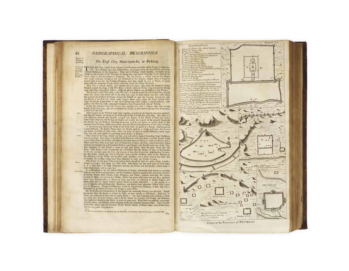
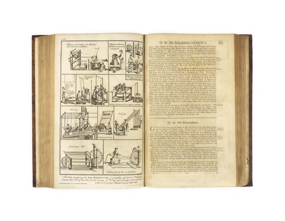
Alongside the illustrations, many of them the work of the English engraver Henry Fletcher, the work is particularly well-known for its maps. Despite growing cartographic interest in China during the seventeenth century, the mapping of the country reached a new level of sophistication and accuracy with the imperially sanctioned Jesuit cartographic project between 1708 and 1718: the data which the Jesuits provided ended up being not only substantial improvements on their seventeenth-century predecessors but remained the basis for all maps of China, both in China and abroad, down to the early twentieth century.
Cordier, Sinica 50; Hill 498 (on the third Watt edition); Löwendahl 409 (cf. 394 for the French edition); Lust 15; Sommervogel IV, 37.