JAPAN AND ITS NEIGHBOURS
WYLD, James.
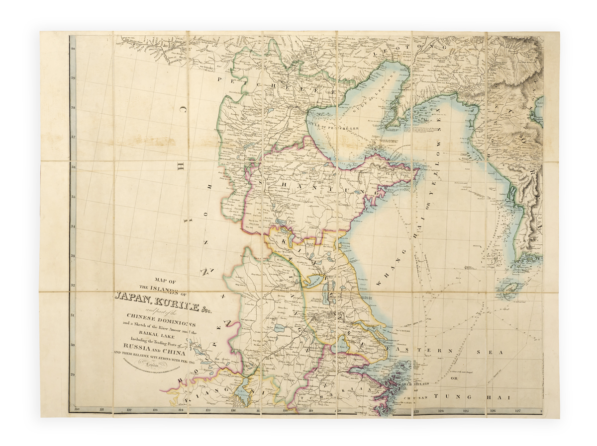
Map of the islands of Japan, Kurile &c. and part of the Chinese dominions and a sketch of the river Amoor and the Baikal Lake including the trading posts of Russia and China and their relative situations with Peking.
London, James Wyld, 1859–1860.
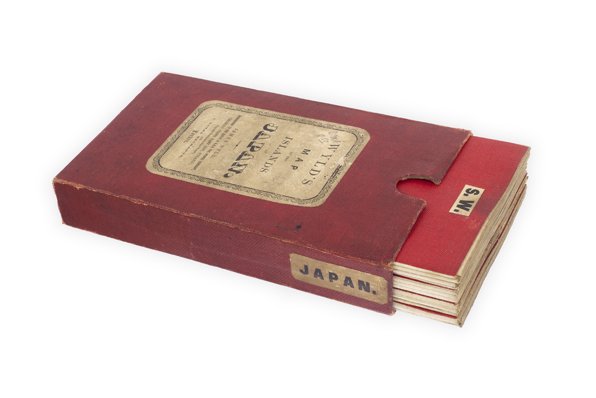
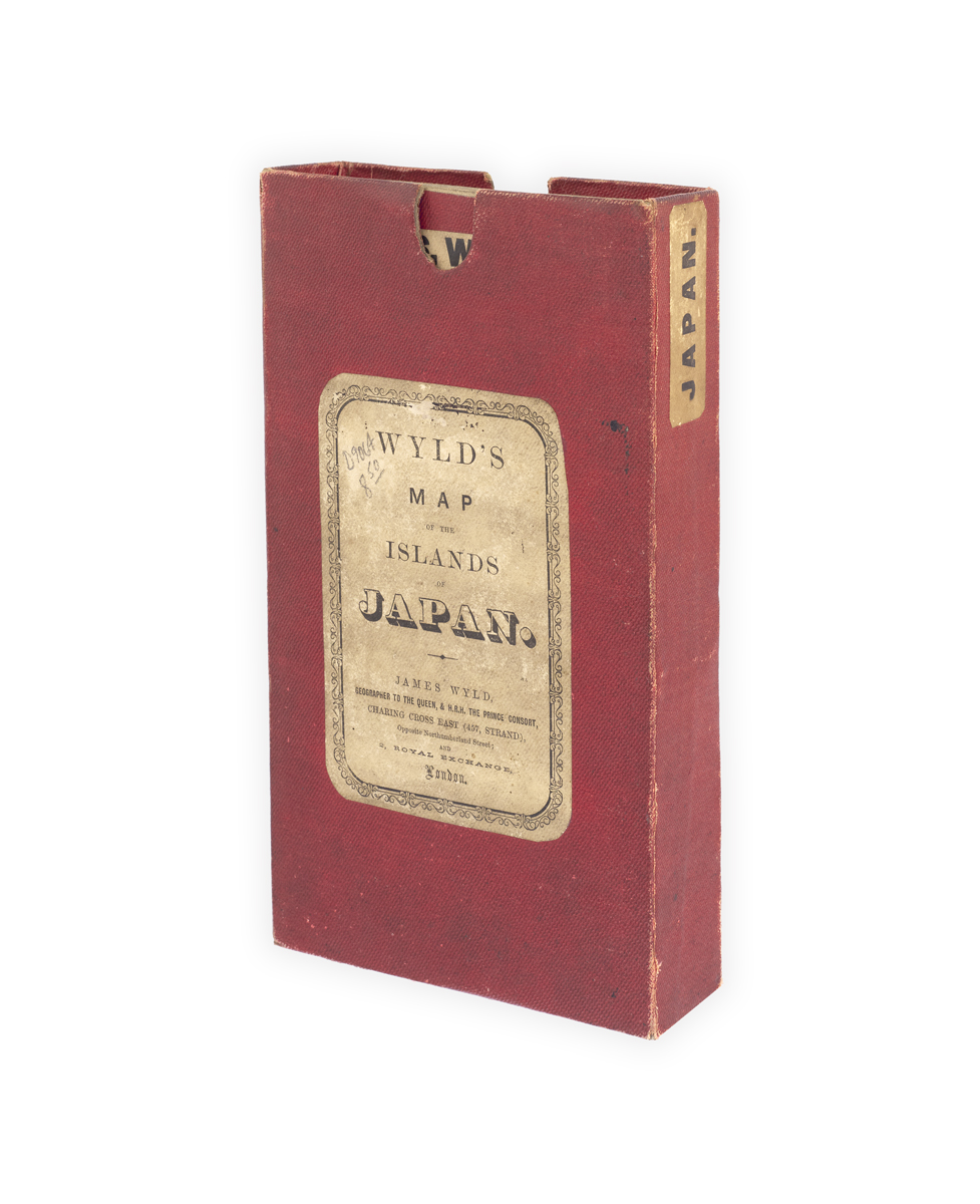
1 map on 4 folding sheets (2 sheets 67 x 102 cm in 24 sections, 2 sheets 67 x 89 cm in 21 sections), hand-coloured in outline, linen backed, upper and lower covers of each sheet in red cloth with printed label (‘N.W.’, ‘N.E.’, ‘S.W.’, ‘S.E.’), N.W. sheet dated 5 March 1859, N.E. and S.W. sheets dated 5 March 1860; some light browning, a few marks to covers; overall very good in original red cloth-covered slipcase , printed label to front cover (‘Wyld’s map of the islands of Japan’) and side (‘Japan’); some wear to extremities and marks.
Added to your basket:
Map of the islands of Japan, Kurile &c. and part of the Chinese dominions and a sketch of the river Amoor and the Baikal Lake including the trading posts of Russia and China and their relative situations with Peking.
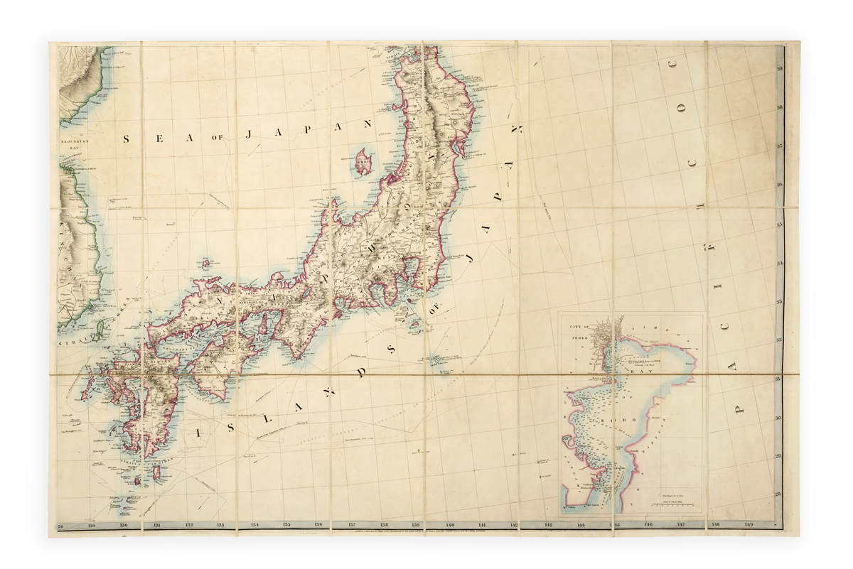
Rare four-sheet map of Japan, the Russian Far East, Mongolia and Southern Siberia, Korea, and China’s central coast, by James Wyld the younger (1812–1887), published just a few years after the end of Japan’s long isolationist period.
The four sheets variously show: to the North West, part of Mongolia, the Gobi Desert, and Lake Baikal; to the South West, the Yellow Sea, Shanghai, Korea etc.; to the North East, part of the Russian coast including Sakhalin and the Kuril Islands, with insets of Cape Elizabeth and Hakodate; and to the South East, Japan with an inset of Tokyo Bay. In addition to a wealth of geographical detail, Wyld shows the tracks of various sea voyages and ocean currents.
The timing of Wyld’s map publications shows him to have been ‘something of an opportunist’ but ‘his maps were always of high quality, a fact acknowledged when he was accorded the title of geographer to Queen Victoria and Prince Albert’ (ODNB). He is perhaps best known for his extraordinary 60-foot tall ‘great globe’, exhibited in Leicester Square during the Great Exhibition.
No copies traced in the US. Only one copy recorded in the UK (Cambridge University Library). No copies traced at auction on Rare Book Hub.