
MAPPING NEWLY OPENED JAPAN
WYLD, James.
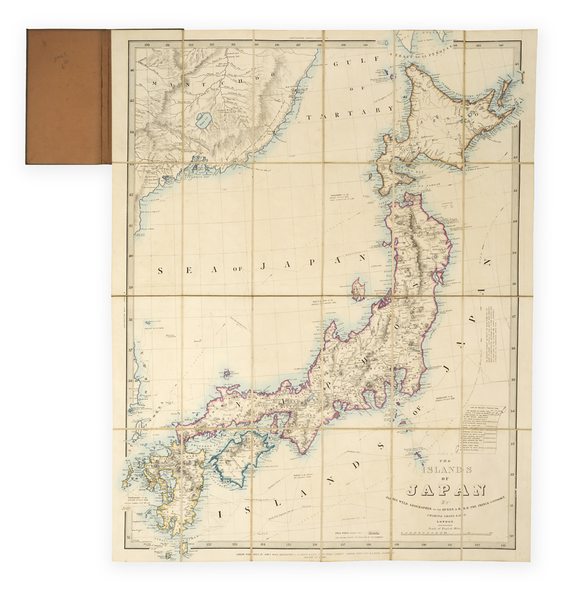
The islands of Japan by James Wyld, geographer to the Queen & H.R.H. the Prince Consort.
London, James Wyld, 1 January 1859.
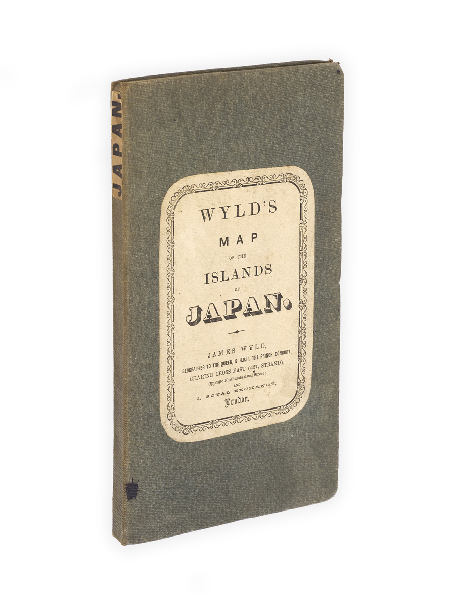
Folding map (87 x 69 cm) in 24 sections, hand coloured in outline, linen backed; slightly toned, overall very good; folding into original 8vo green cloth-covered boards with printed paper label to upper cover and paper label to spine; small ink stain to upper cover and a little wear to extremities.

Added to your basket:
The islands of Japan by James Wyld, geographer to the Queen & H.R.H. the Prince Consort.
Rare folding map of Japan by James Wyld the younger (1812–1887) published just a few years after the end of its long isolationist era, showing treaty ports opening soon following the signing of the 1858 Treaty of Amity and Commerce between Japan and the United States.
The 1858 treaty opened several new ports to foreign trade, all indicated here by Wyld with evident excitement e.g. ‘Nangasaki to be opened 1st July 1859 average summer heat 98o Fahr.’, and ‘Hakodadi to be opened 1st July 1859 temp. in May & June 51o to 66o’. Wyld’s map also shows the tracks of various expeditions to the region (e.g. ‘Capt. Broughton 1797’, ‘Track of the Russians in 1805’), uses arrows to identify currents, and indicates existing free ports in red. An unrolled scroll beside the title contains a ‘list of recent publications’ advertising various maps and charts all priced for ‘sheet’, ‘case’, and ‘rollers’.
The timing of Wyld’s map publications shows him to have been ‘something of an opportunist’ but ‘his maps were always of high quality, a fact acknowledged when he was accorded the title of geographer to Queen Victoria and Prince Albert’ (ODNB). He is perhaps best known for his extraordinary 60-foot tall ‘great globe’, exhibited in Leicester Square during the Great Exhibition.
No copies traced in the UK or US. OCLC records only two copies (BnF and Leiden ). No copies at auction recorded on Rare Book Hub.

