GEOGRAPHICAL METHODS OF A CARTOGRAPHIC GIANT
ANVILLE, Jean-Baptiste Bourguignon d’.
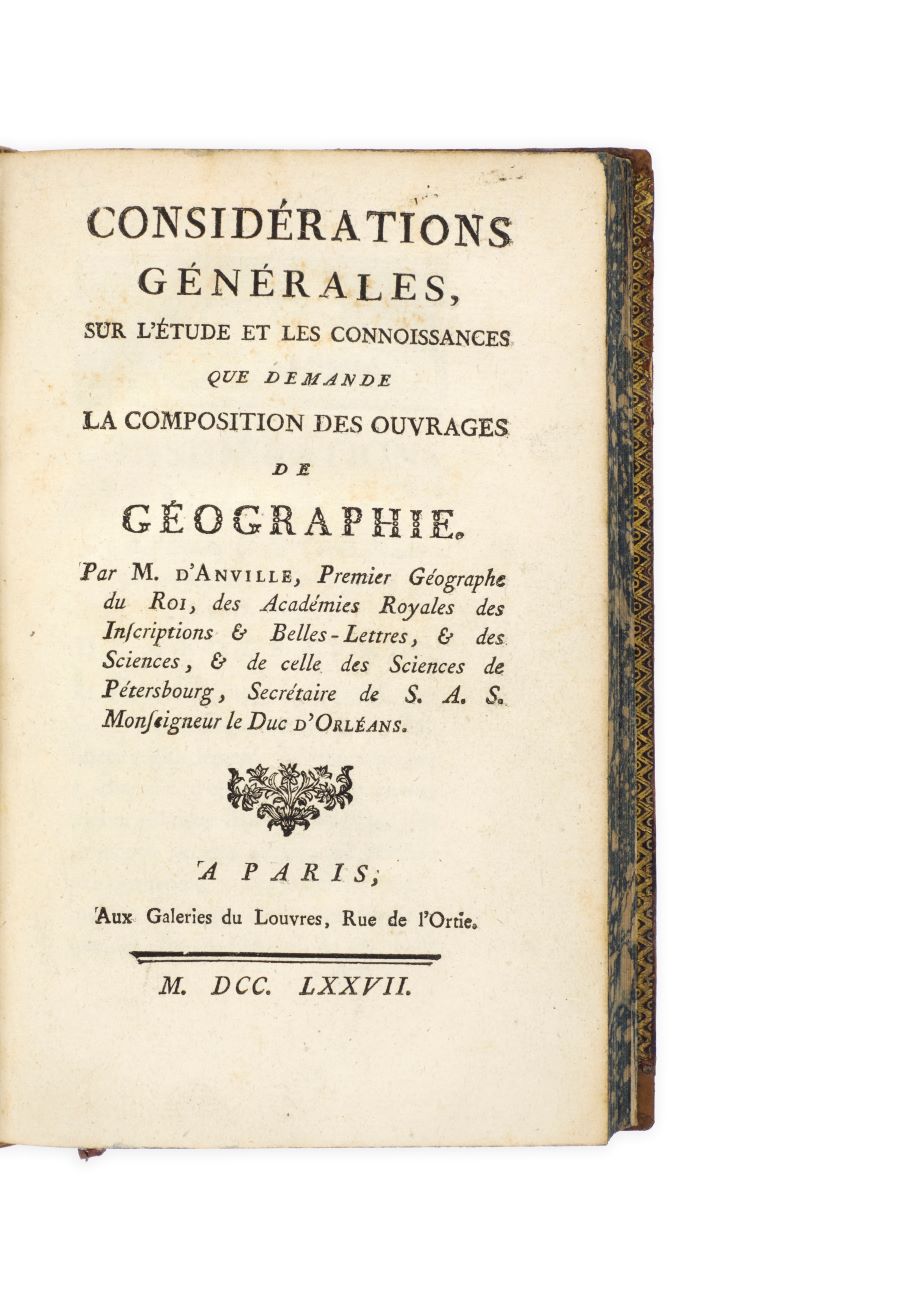
Considérations générales, sur l’étude et les connoissances que demande la composition des ouvrages de geographie …
Paris, Galeries du Louvres, 1777
[bound with:]
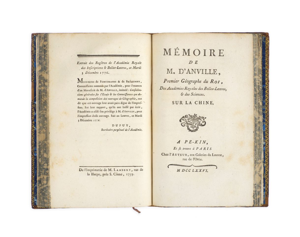
ANVILLE, Jean-Baptiste Bourguignon d’. Mémoire de M. d’Anville, premier géographe du roi, des Académies Royales des Belles-Lettres, et des Sciences. Sur la Chine. ‘A Pe-kin, et se trouve à Paris’, ‘chez l’auteur’, 1776.
Two works in one vol., 8vo, pp. 111 [1]; 47, [1 (blank)]; woodcut vignettes to titles, head- and tailpieces; a little light spotting, small loss to blank lower corner of p. 97; very good in contemporary cats-paw-style calf, gilt border to covers, spine gilt in compartments with two lettering-pieces, marbled edges, later marbled endpapers; rebacked with spine laid down; some wear to spine, corners and edges, a little surface cracking to covers.
Added to your basket:
Considérations générales, sur l’étude et les connoissances que demande la composition des ouvrages de geographie …
Two first edition works in one volume by the great French geographer and royal cartographer Jean-Baptiste Bourguignon d’Anville, consisting of d’Anville’s general guide to geography and his remarks on the construction of his famous maps of China.
A maker of his own maps by the age of fifteen, Anville became royal geographer in his early twenties, a member of the famed Académie des inscriptions et belles-lettres in 1754, and first geographer to the king in 1773. Although d’Anville never travelled to his locations and abstained from using astronomical procedures, his maps, based on the careful compilation of a wide variety of sources, possessed a remarkable level of precision, and he was one of the most respected and influential geographers of his generation and a continuous cartographic reference point for generations to come.
The present volume contains first editions of two of his most famous works. The first is his Considérations générales of 1777, in which he ‘laid out his working methods, reflected on the cartographic process, and admitted “the impossibility of producing a faithful image of regional topography, even while insisting on the necessity of enriching knowledge of a locale with pertinent information” (Safier 2008, 138). Published towards the end of his long career, this work summarized d’Anville’s geographical ambitions of working towards perfection’. (Blond and Haguet). The second work, published a year earlier in 1776, contains d’Anville’s explanation for his methodology in constructing maps of China specifically: in 1735, d’Anville had prepared numerous maps for Jean-Baptiste Du Halde’s Description géographique de l’empire de la Chine et de la Tartarie, maps which were subsequently revised and published separately in d’Anville’s Nouvel atlas de la China of 1737. In particular, d’Anville sought to defend the Jesuit-sourced data which he based his maps on following strongly-worded criticism by an unnamed editor.
Cordier, Sinica 187; Lust 154. See Stéphane Blond and Lucile Haguet, ‘Anville, Jean-Baptiste Bourguignon d’’ in Mary Sponberg Pedley and Matthew H. Edney, The History of Cartography IV (Chicago, 2020), pp. 111-117.