‘HORATIO NELSON’S’ SCHOOL ATLAS
[ATLAS.]
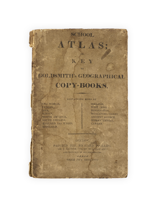
School Atlas; or, Key to Goldsmith’s geographical Copy-Books …
London, Richard Phillips, [1810–11].
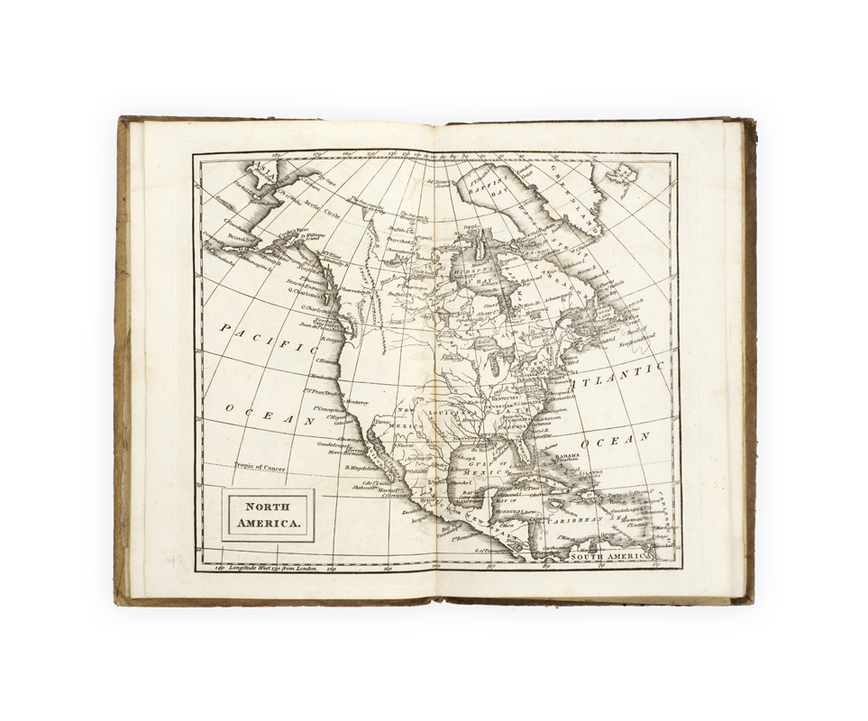
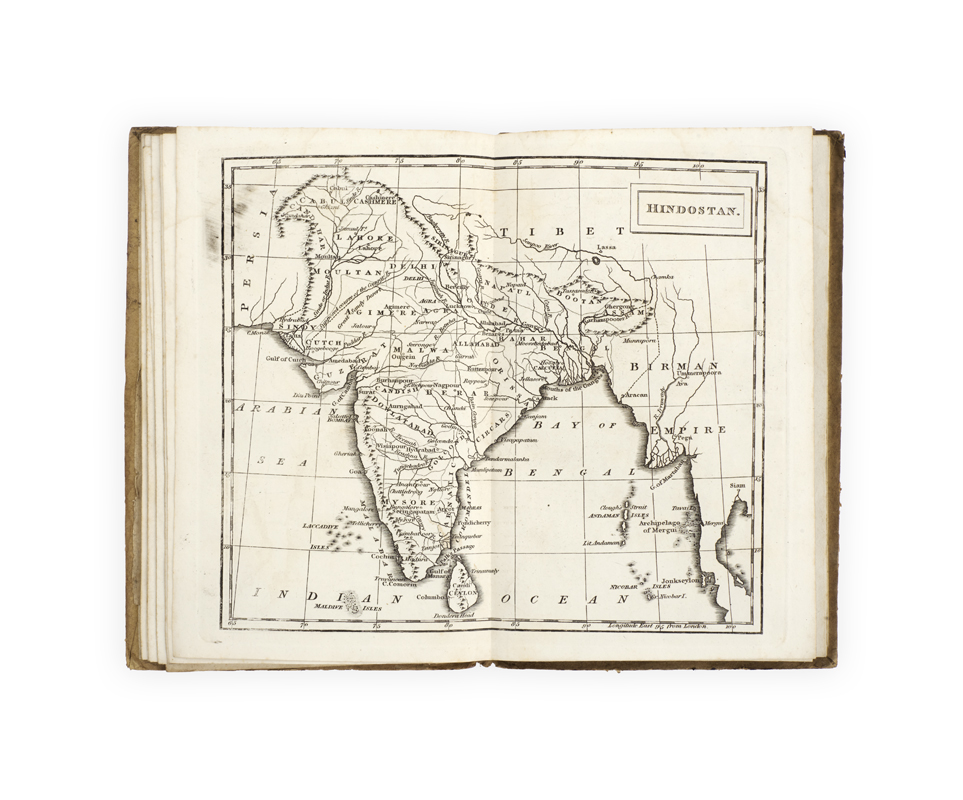
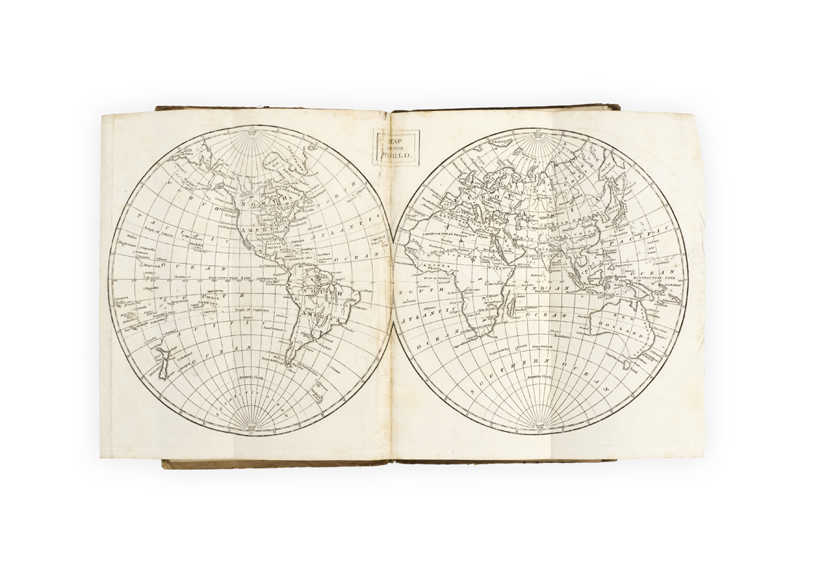
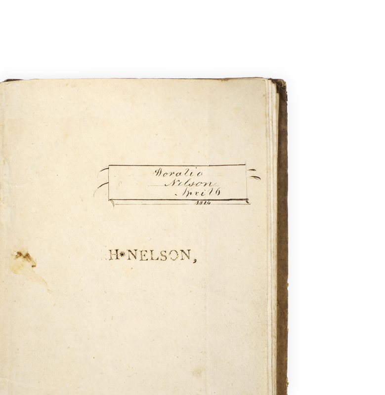
8vo; fifteen engraved double-page maps by J. C. Russel Jr, bound on stubs (the two world maps folding); Europe bound in upside-down; very good, in the original printed boards (no title-page as issued), publisher’s advertisements on the rear cover, boards stained, spine worn and chipped; ownership inscription and stamp ‘Horatio Nelson April 6 1814’.
First edition(?), very rare. The maps include world maps in globe and on Mercator’s projection (in which Australia features as New Holland), Europe, Asia, Africa, North and South America, England and Wales, Scotland, Ireland, West Indies, ‘Hindoostan’, Ancient Greece, the Roman Empire, and Canaan.
Sir Richard Phillips (1767–1840), briefly a schoolmaster, set up as a bookseller in Leicester in 1790, then expanded into publishing, prints, and music. His radical politics led to a spell in prison and to the friendship of Joseph Priestley. After 1795 he relocated to London, launching the Monthly Magazine in 1796, with contributors including Coleridge, Lamb, Thelwell, Mary Robinson. In 1806 he moved to larger premises on Bridge Street, Blackfriars (as given in the imprint here), but he was declared bankrupt in 1810 – ‘He subsequently concentrated on publishing school textbooks, instructional literature, and reference works’ (ODNB). Those listed on the rear cover here suggest a publication date of 1810–11.
Needless to say our ‘Horatio Nelson’ was not the ghost of a flag officer, but was likely named in his honour. In 1805 the Lancaster Gazette reported for example a ‘Horatio Nelson’ born on board the Minotaur in Livorno in 1800 (his father had lost a limb in the Battle of the Nile), whose birth certificate was signed by Nelson and the Hamiltons.
We trace three copies only: BL (which dates it to 1803), Yale, and National Library of Australia (actually a later issue, adding ‘J. Souter’ to the imprint). Phillips and Souter also included the maps in An Atlas for Schools … prefaced by twenty-four Problems (1813).